San Joaquin River Trail - California Hiking Trail - Fresno
(From Friant to Auberry)
“Life is either a great adventure or nothing. Helen Keller”
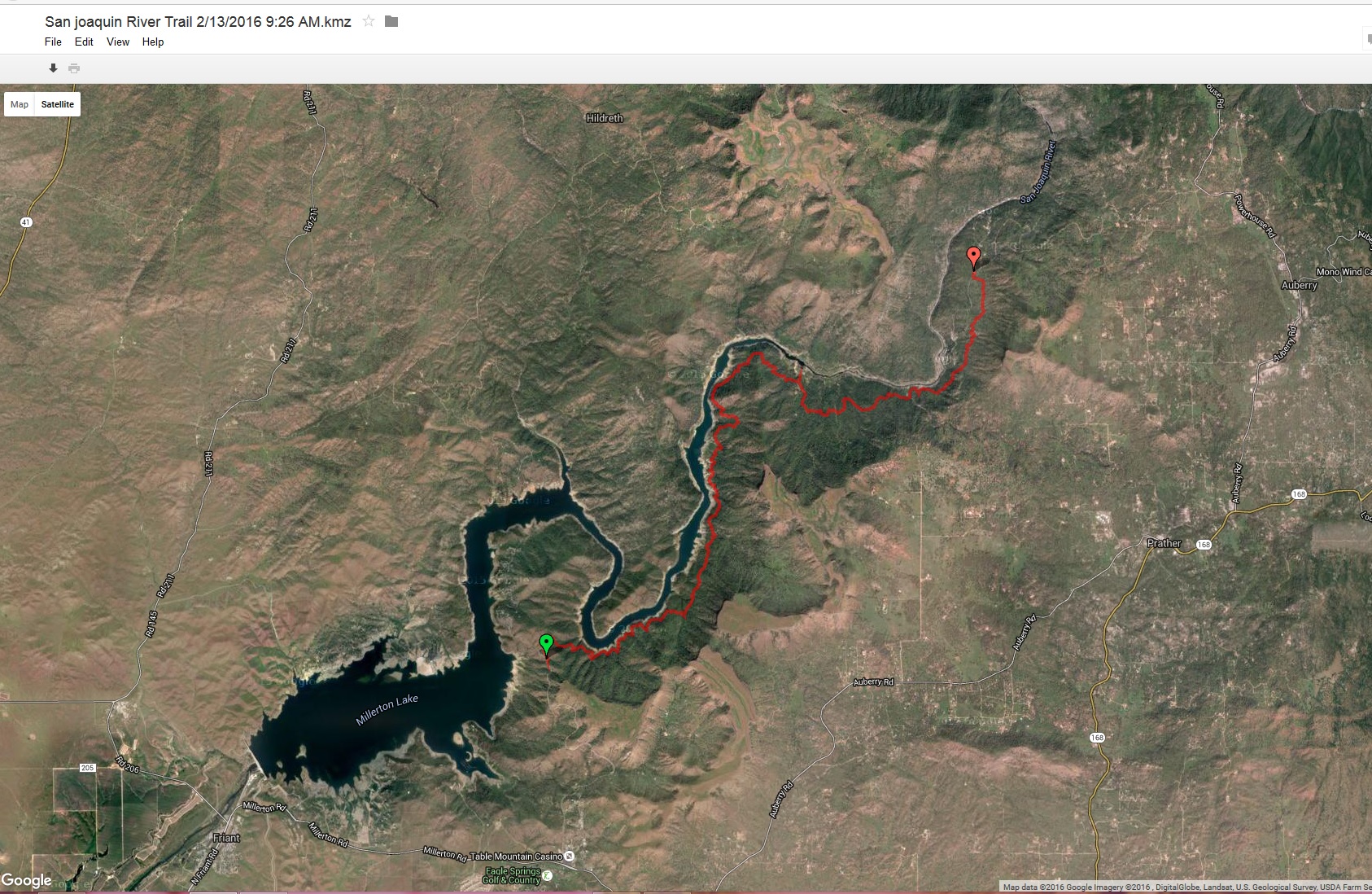
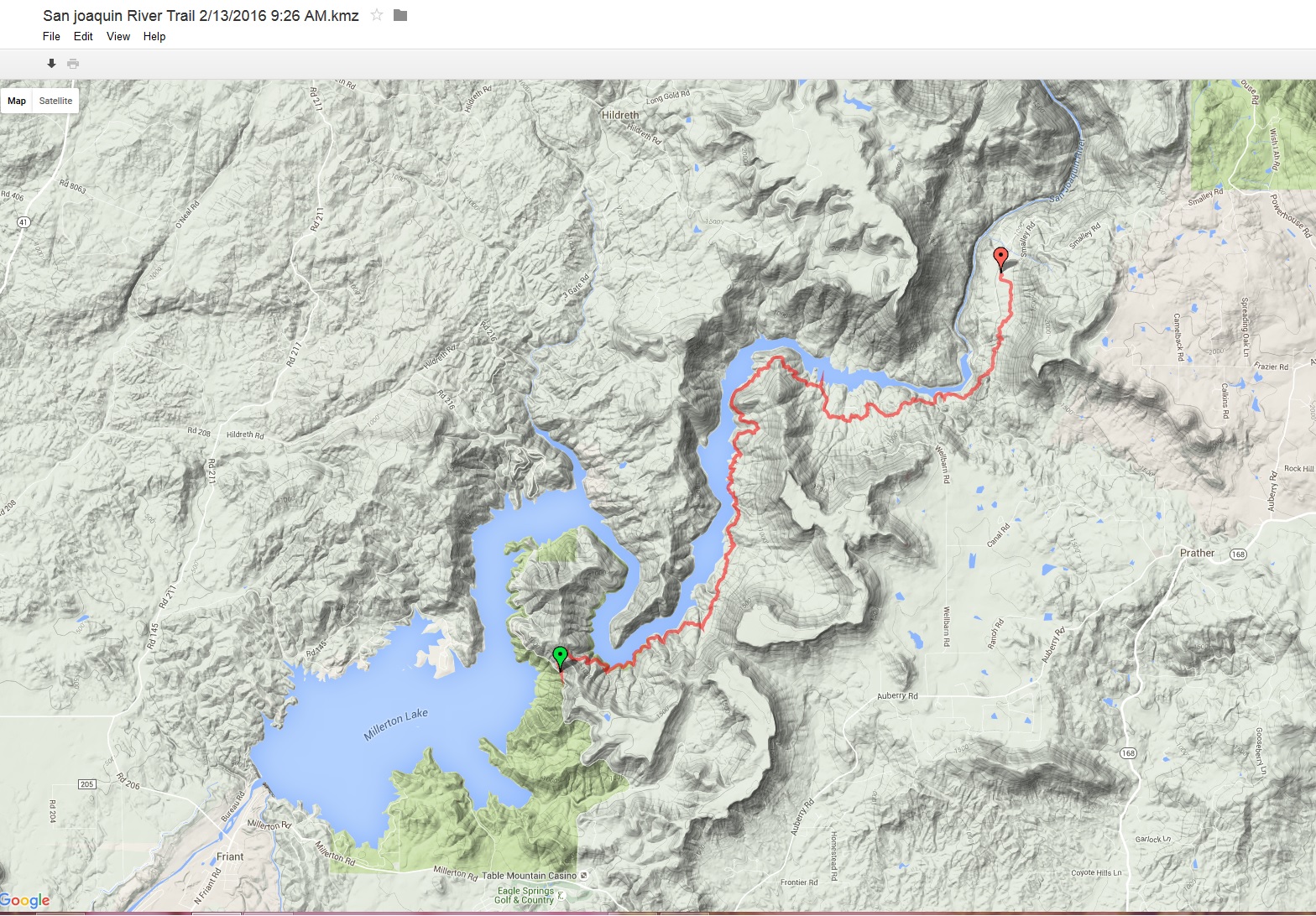
The San Joaquin River Trail is incredibly easy to get to which makes it quite popular. The road is a paved road all the way to the trail head and is only 25 minutes from Fresno. In my opinion, the best time to hike this trail is during the Spring. The temps are hiking friendly and you get to see all the beautiful wild flowers! The trail is a single track trail and you can expect to see hikers, runners, and mountain bikers . This is not a trail that loops, you will need to have travel accommodations at the finish line or you will be walking another 14 miles back to your vehicle. Cell phone reception is spotty along the trail.
Before we go into too much detail, I want to get one thing straight here... the sign at the downstream trail head says 11 miles from the beginning to the end. This would be from the restrooms at the Sky Harbour Picnic Area (S. Finegold Picnic Area) to the San Joaquin River Gorge Special Recreation Management Area (formerly Squaw Leap); however, that sign is dead WRONG! I started a little further upstream from the Sky Harbour Picnic Area and still ended up walking around 13 miles according my GPS. The San Joaquin River trail website states that the trail is 14 miles, end to end. To see there website clickhere . It may not sound like a lot, but that extra 3 miles will add 1-2 hours to your trip depending on your speed. Here is an image of where I started:
San Joaquin River Trail Hike Details
Name: San Joaquin River Trail
Starting Point: Sky Harbour Picnic Area (S. Finegold Picnic Area)
Ending Point: San Joaquin River Gorge Special Recreation Management Area (formerly Squaw Leap)
Activity type: Hiking
Description: Carrying 30 lbs for training - A good portion of that being camera gear.
Total distance: 13.0 mi
Total time: 6:30:22
Moving time: 5:22:46
Average speed: 2.0 mi/h
Average moving speed: 2.4 mi/h
Max speed: 6.1 mi/h (at one point I started running up the hill just to get it over with)
Max elevation: 1014 ft
Min elevation: 433 ft
Elevation gain: 2374 ft
Max grade: 31 %
Min grade: -71 %
How to get to the trail head:
From Fresno, take Friant Road East through the town of Friant to Sky Harbour Road. Take a left(you can't go right). It is approximately 6 miles until you come to a dead end at the picnic area. The trail starts off steep so be ready to climb for about 1/2 mile right out of the gate. You can even take a little bit of a detour to the top of Pin Cushion Peek if you want to.
After the first 1/2 mile the trail flattens out for a while and then you begin to descend to just above the river.
As a side note... the lip balm. My sister bought this Alba lip balm for me when I was probably 20 and there is absolutely no going back to anything else. It is one of my favorites! It keeps your lips smooth and smells delicious. Just saying.... Ok, continue on...
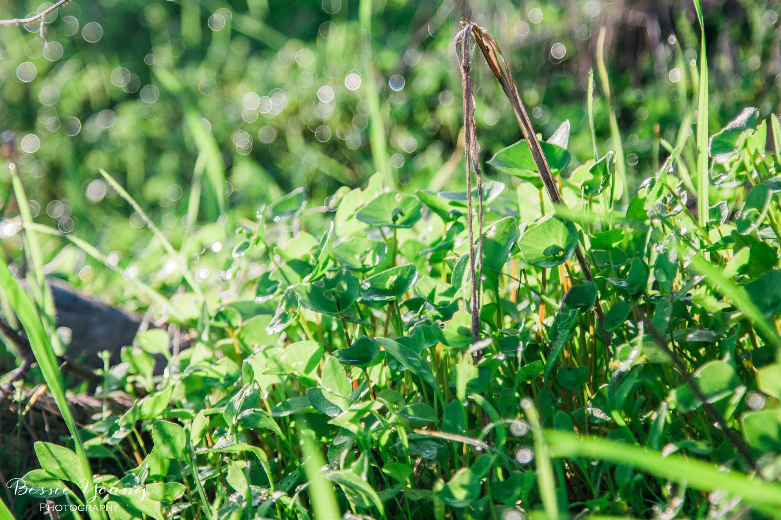
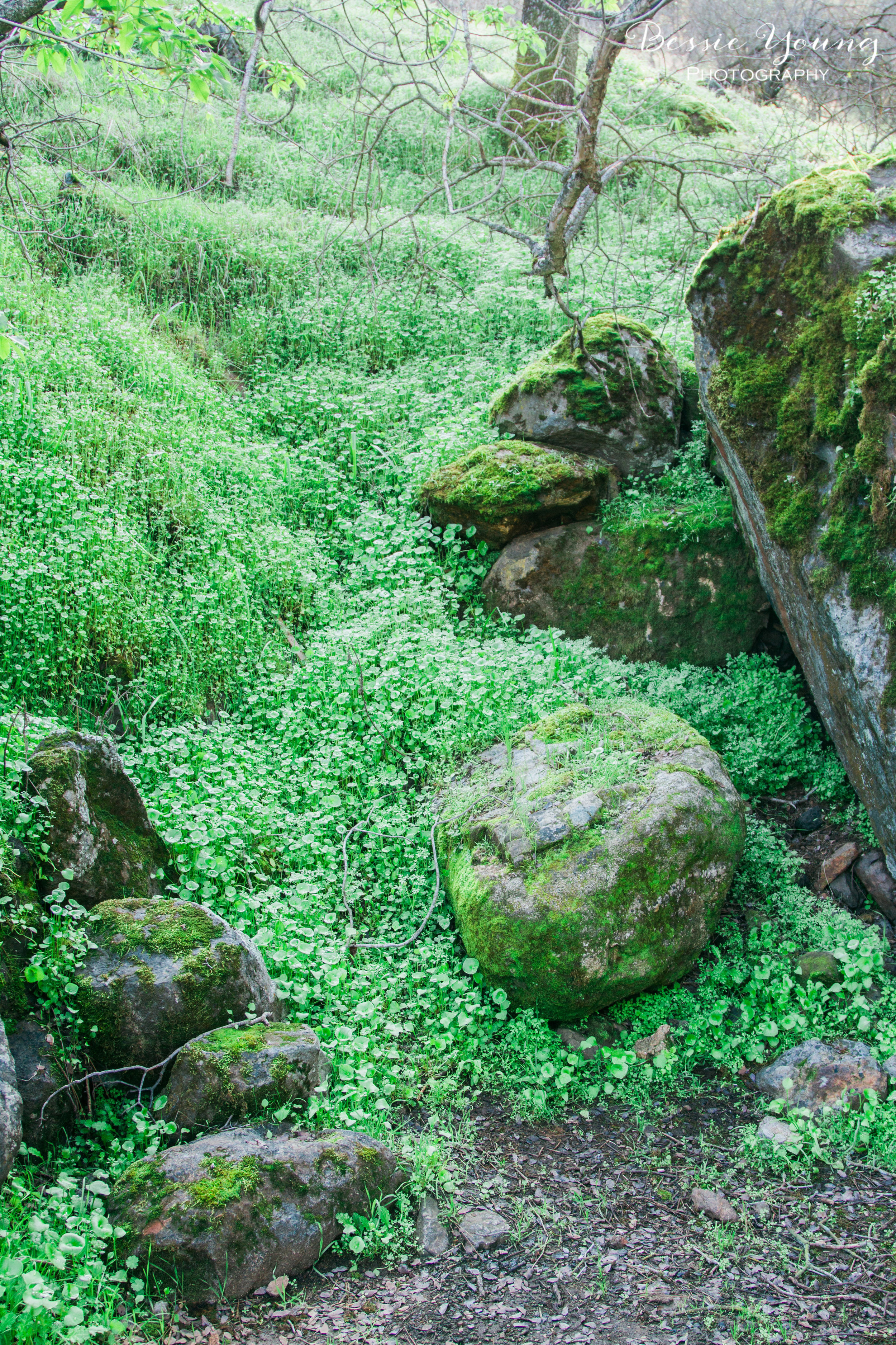
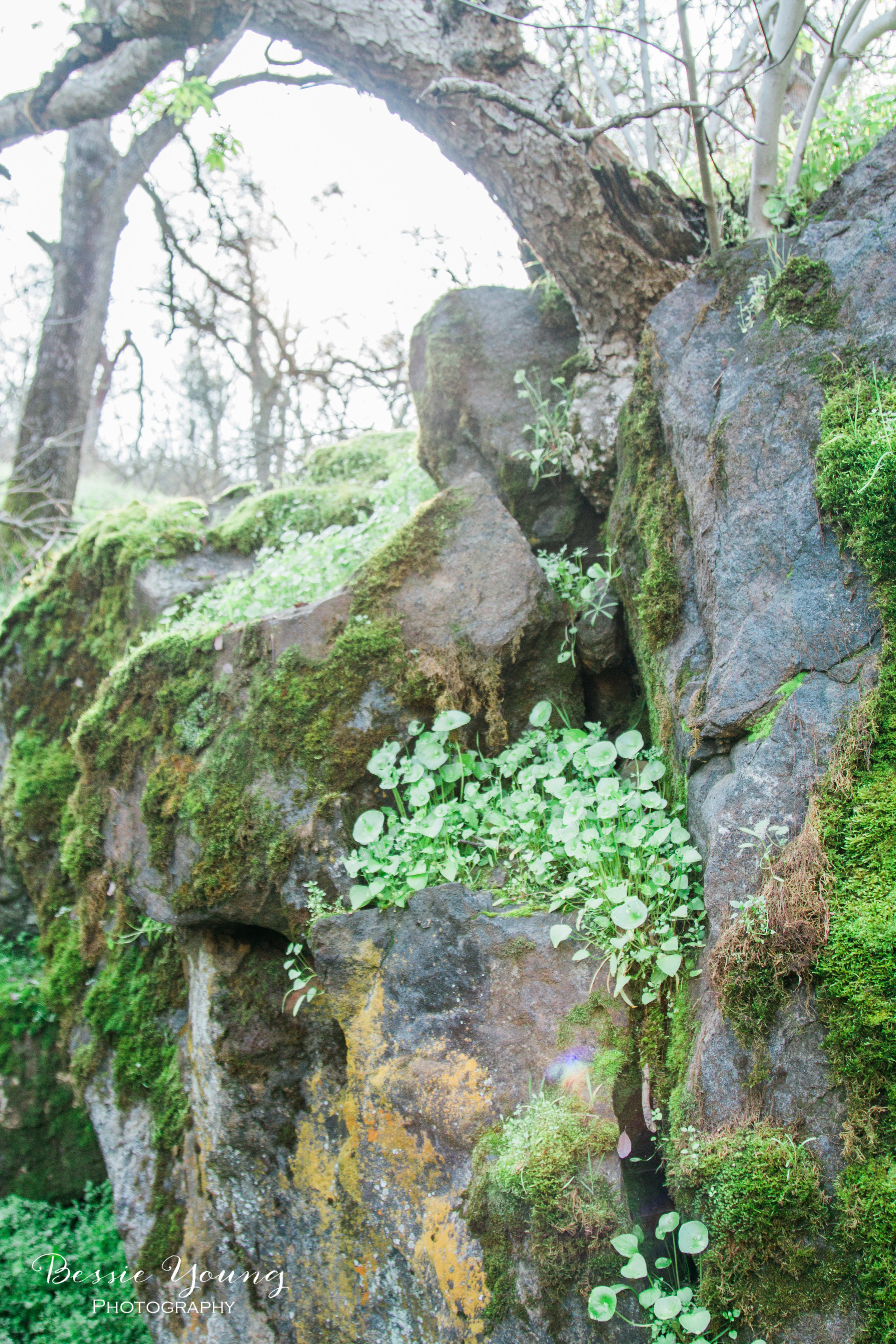
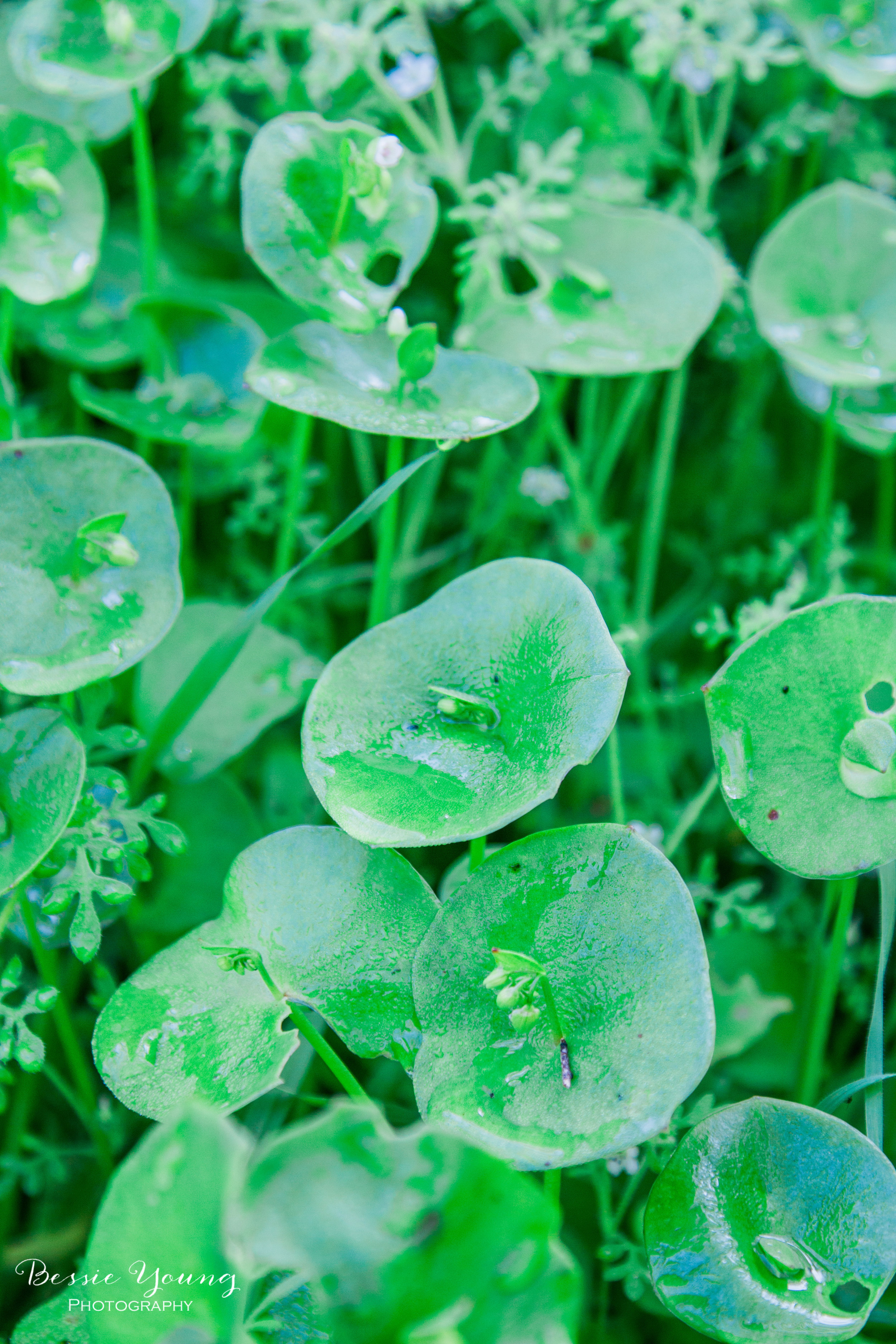
Miners Lettuce will be abundant along the trail in the Spring. Ever Since I was little I have been obsessed with Miners Lettuce. It is absolutely beautiful, has these cute little white flowers, and always holds water droplets just perfectly from the morning dew. There is something about this plant that I just absolutely love.
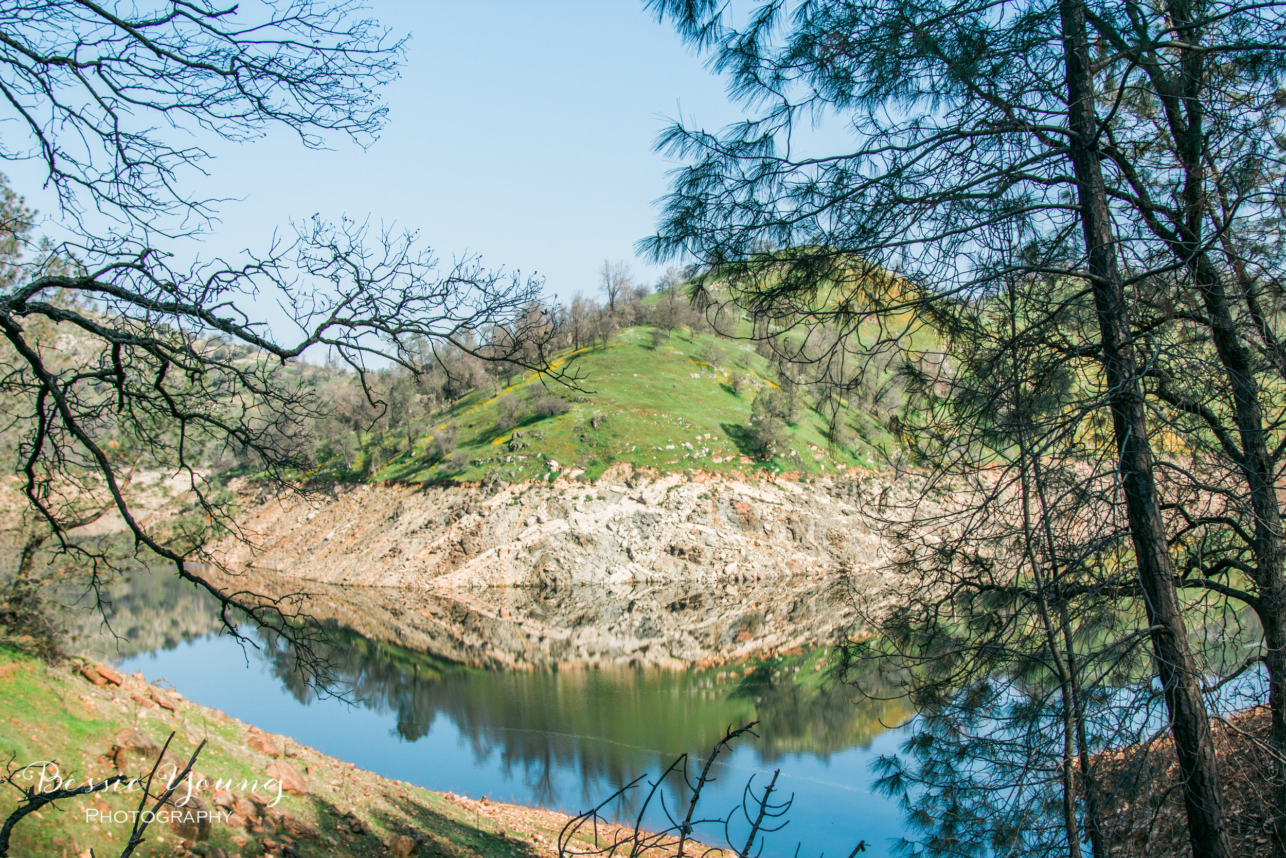
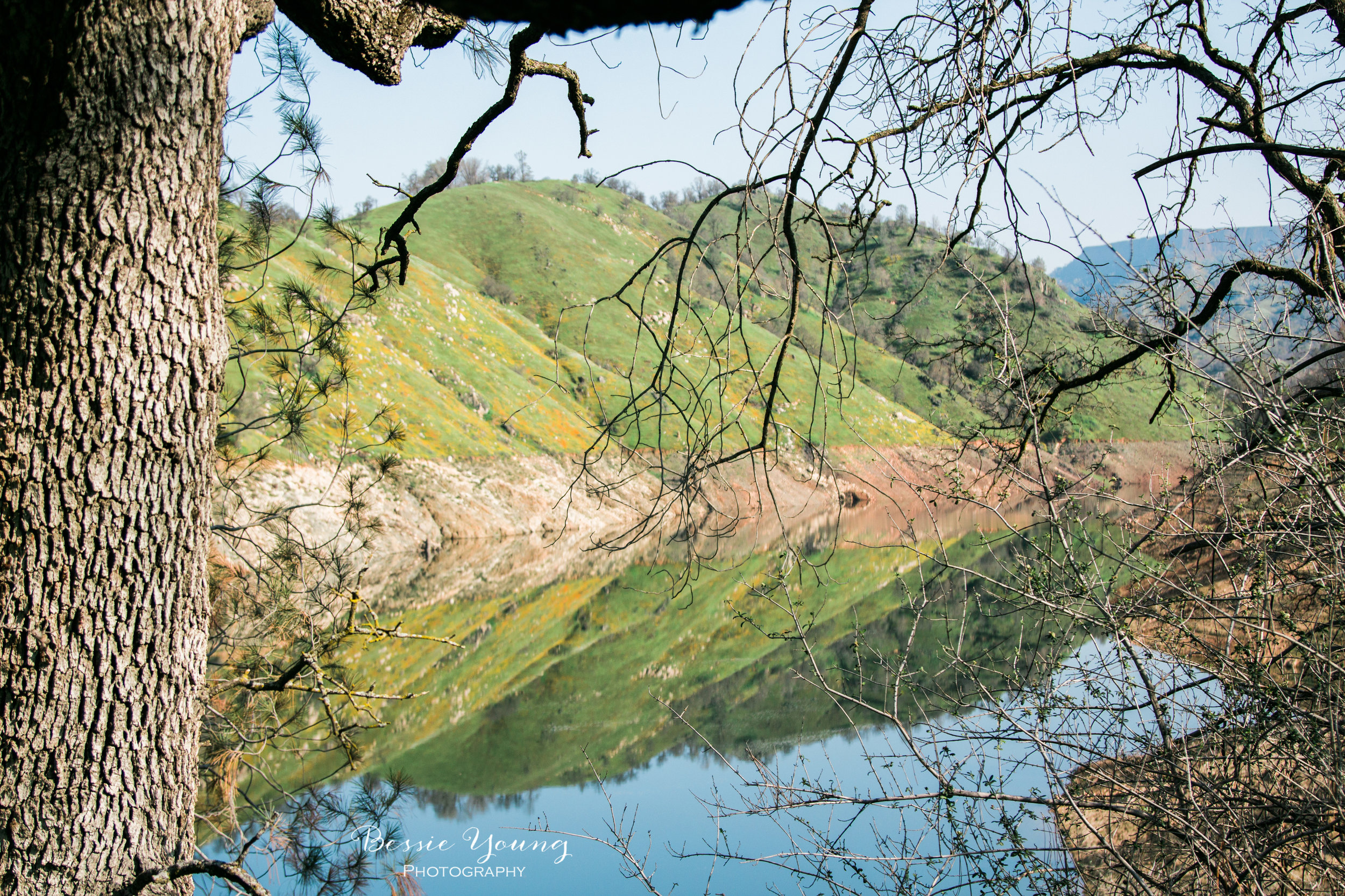
The trail twists and turns along with the San Joaquin River. For the majority of your trip you will be near the river. In mid February you will catch the start of the poppy bloom and the grass will be green and lush.
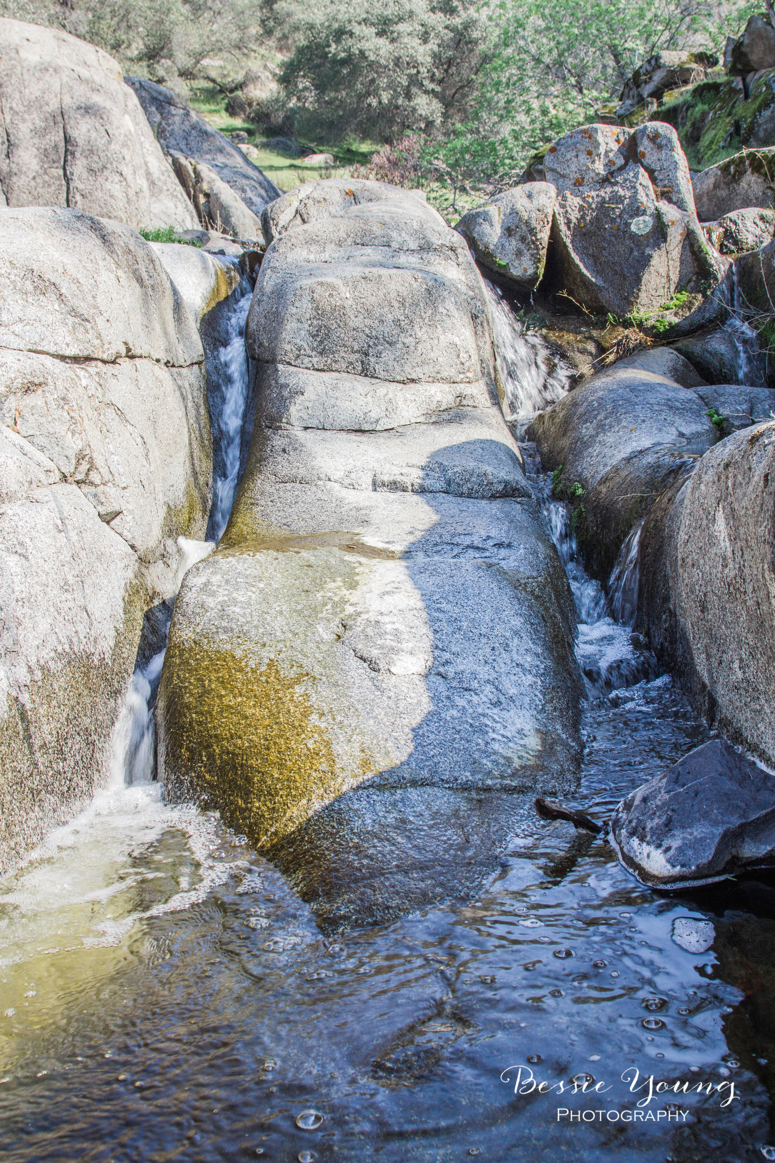
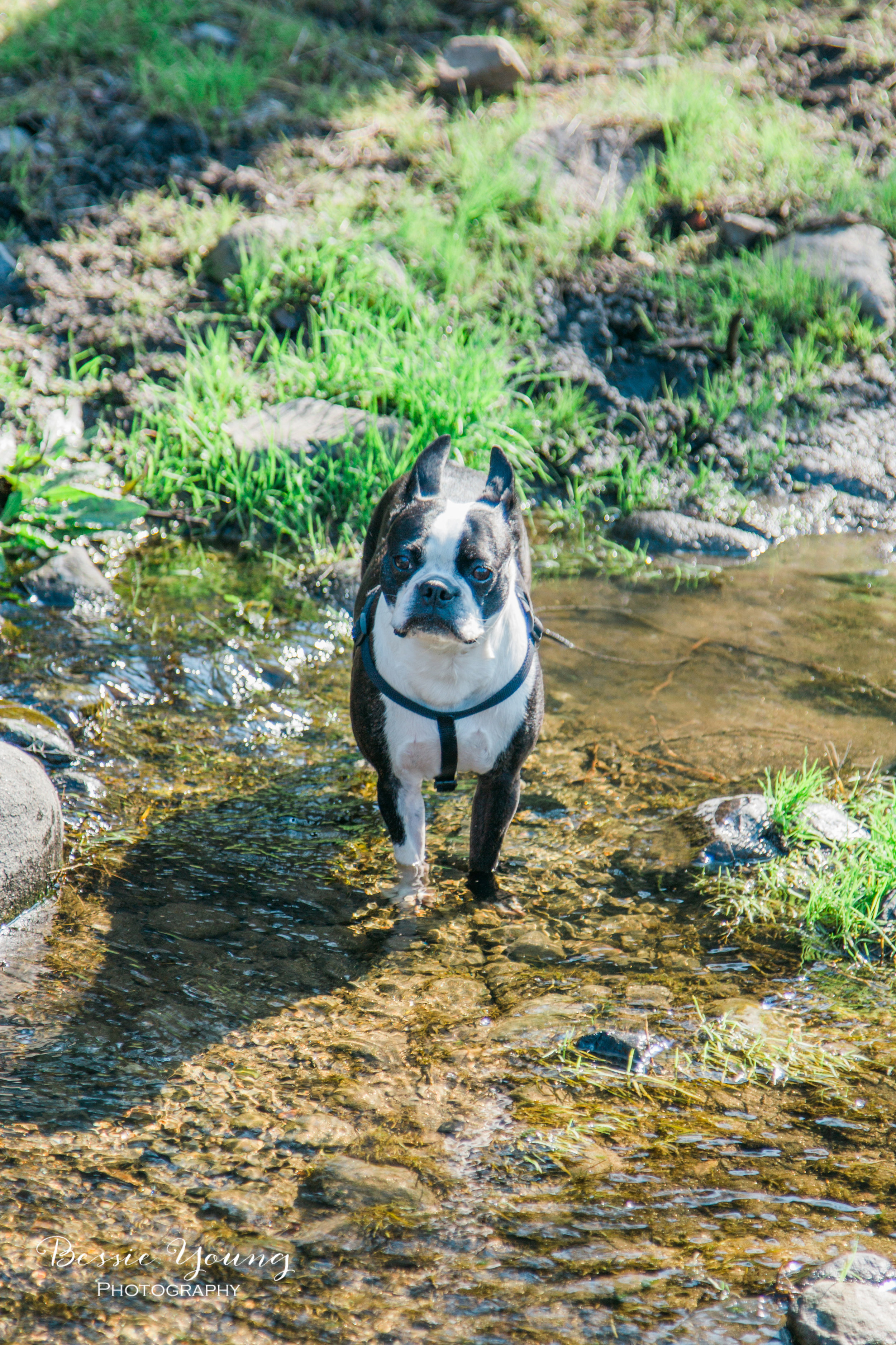
If you do end up going in the spring you will find that the water is flowing and creating some beautiful albeit small waterfalls in the creeks. The creeks are a great opportunity for your dog to cool off. As you can see Yota loved the creek!
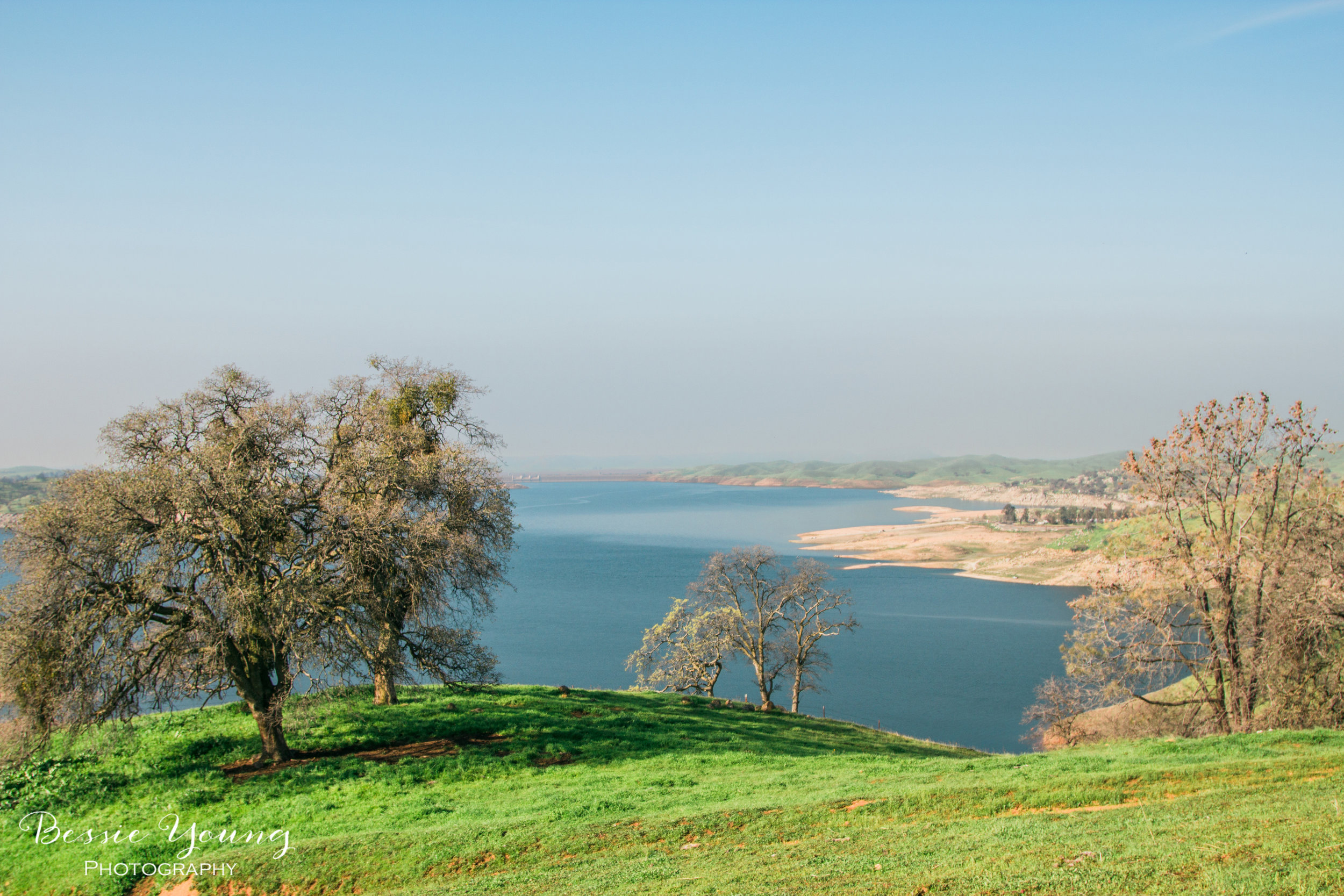
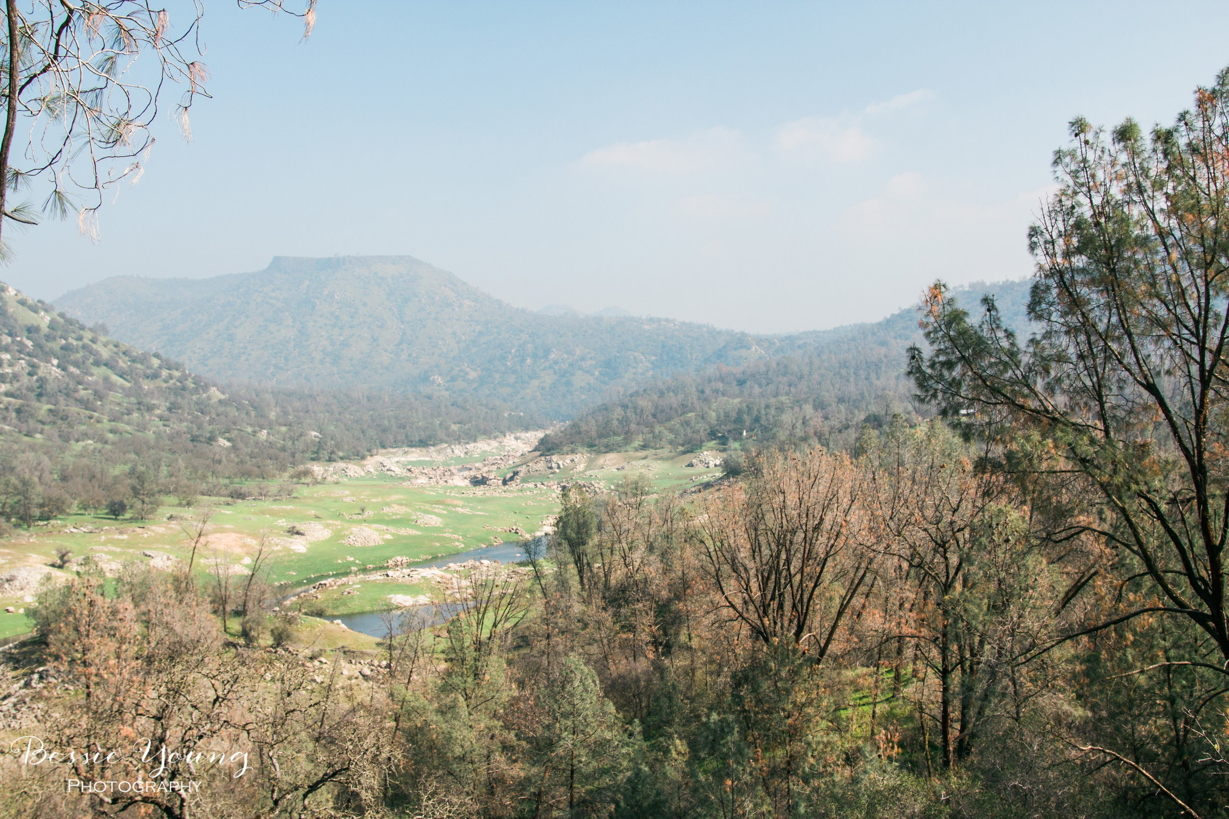
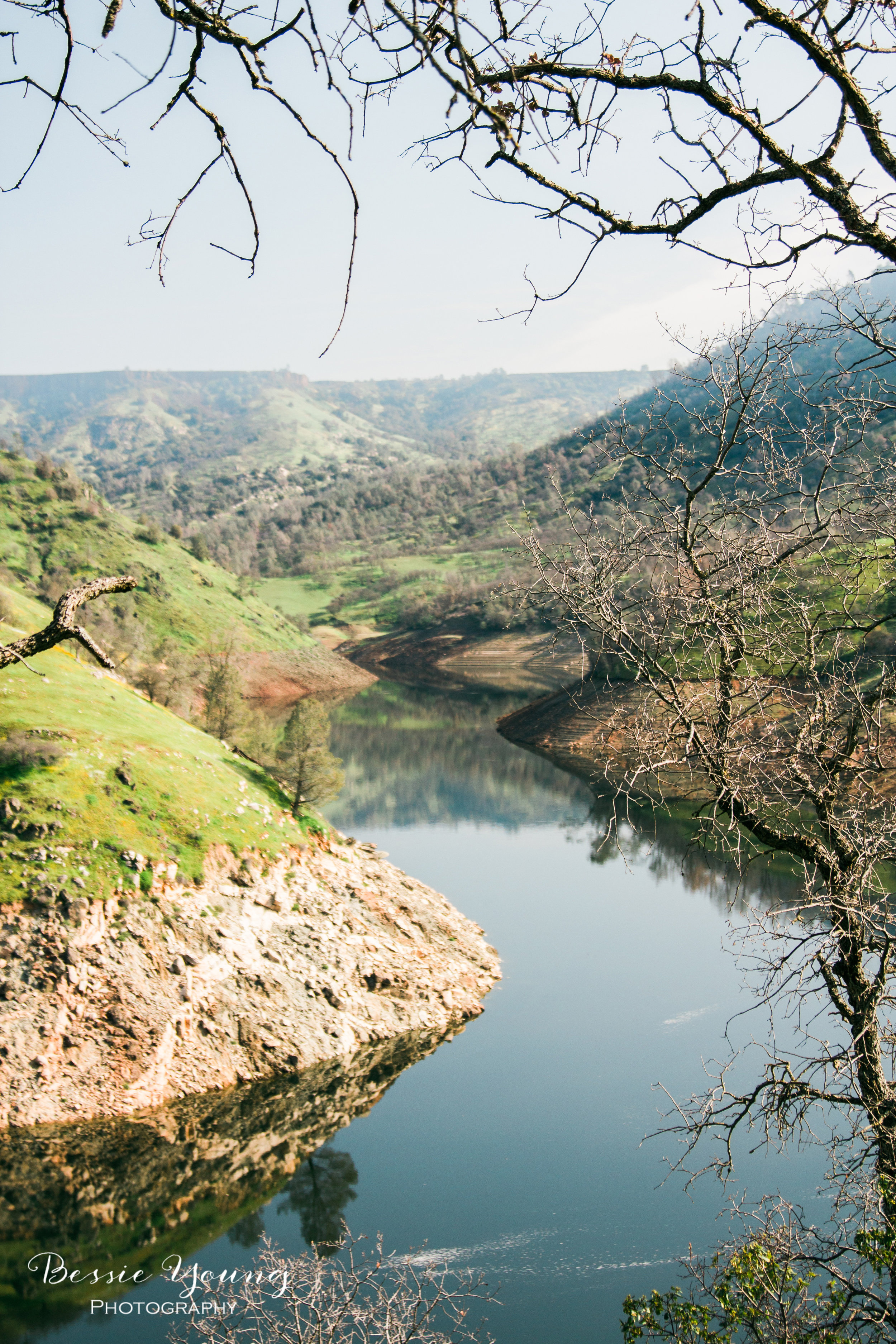
Eventually the trail begins to work it's way away from the river and you will find yourself looking over Temperance Flats. There is even a pit toilet not too far from where this photo was taken if you have to answer the call of the wild :)
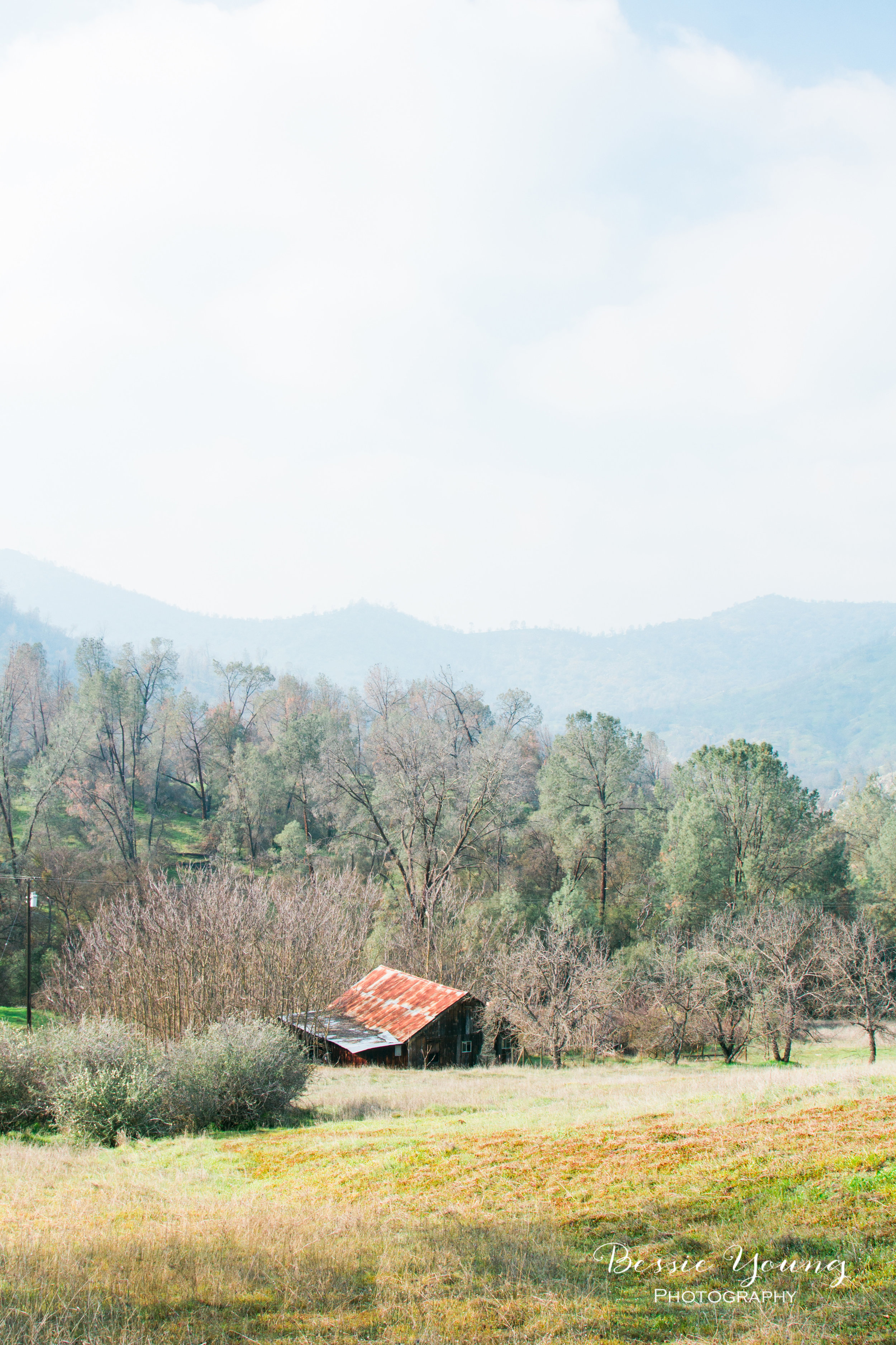
Walking further away from the river you stumble upon this this beautiful old structure. (I am obsessed with old wood barns and homes so this was a huge delight.)
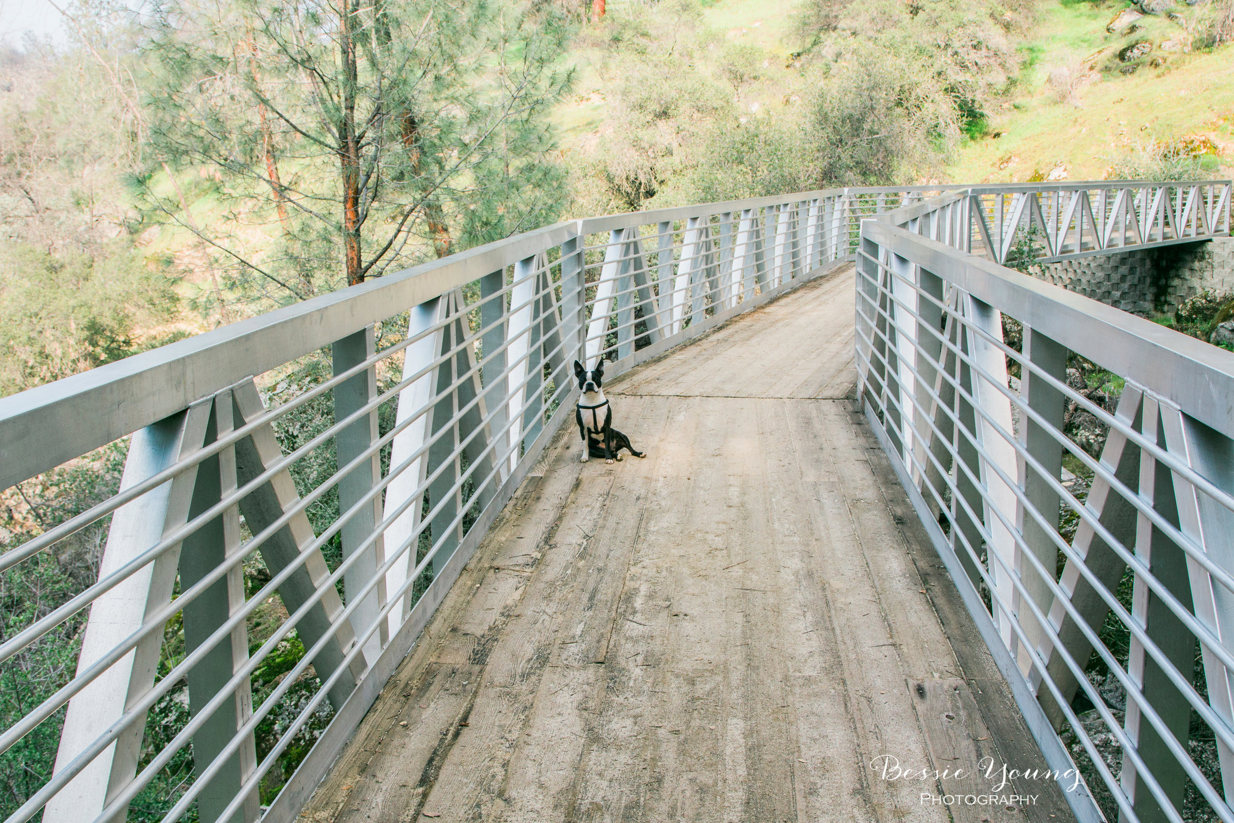
A bridge! You may think this is a sign that you are almost done, but think again. Once you cross this metal bridge you will find yourself heading uphill once again for a good stretch. You are in the home stretch; however after 11 miles, this uphill section isn't too much of a friendly sight.
Starting at 9:30 in the morning ended up being a little too late due to those pesky extra miles I had not planned for. I scheduled my ride to pick me up and as we got back to my car the sun had just started setting over Millerton Lake. Talk about gorgeous!
If you ever take this trip make sure to tag me in your photos @bessieyoungphotography! I would love to see your trip and the images you got. Also, if you enjoyed this post make sure to comment below and subscribe to my blog.
Until next time, wishing you nothing but fun adventures!
Bessie
To see more hiking trails check these blogs posts out:

